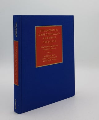
THE ENCLOSURE MAPS OF ENGLAND AND WALES 1595-1918 A Cartographic Analysis and Electronic Catalogue.
Cambridge University Press, 2004. 1st edn. Tall 8vo. Original gilt lettered blue and red cloth (Fine). Pp. xx + 415, illus with b&w maps and photos (no inscriptions). More